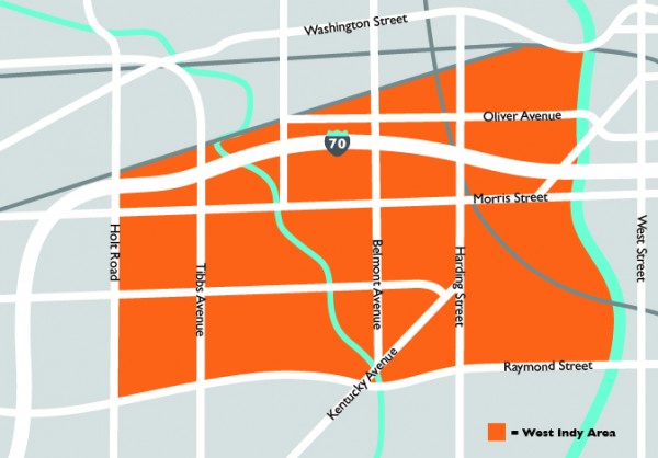
Map of Boundaries
The West Indianapolis neighborhood (WI) is bound by the White River on the east, Raymond Street on the south, Holt Road on the west, and the 1st of Conrail tracks on the north.
1211 S Hiatt Street | Indianapolis, IN 46221 | (317) 638-9432

The West Indianapolis neighborhood (WI) is bound by the White River on the east, Raymond Street on the south, Holt Road on the west, and the 1st of Conrail tracks on the north.
